Customize the Map Display
Overview
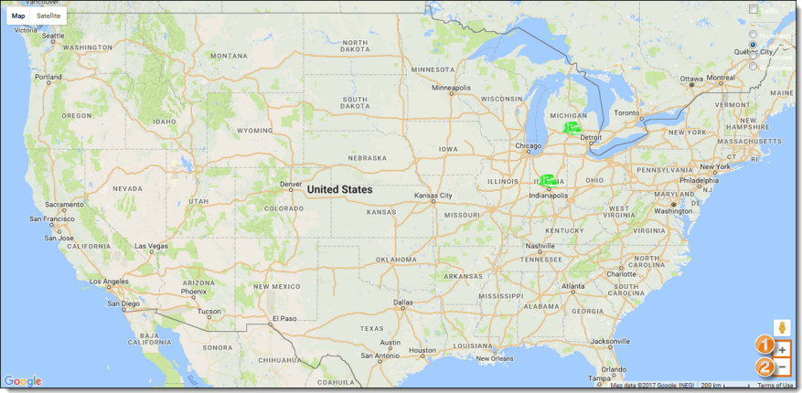
The tracking map's display can be customized in several ways. This includes the layout of the map, display of traffic patterns, refresh rate, and magnification.
Prerequisites
Before you can customize the map display, you must:
- Log in to Optimiz. See Log In to Optimiz.
Process
To Customize the Map:
- Search for shipments. See Search for Shipments
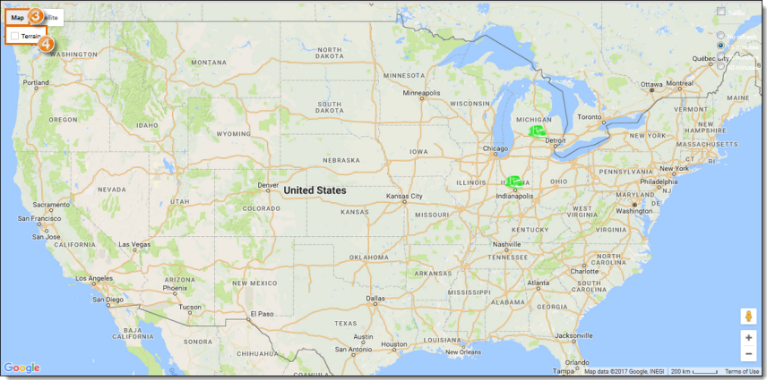
- Click Map to change the display to show the street map if necessary.
- Hover over Map.
- Click Terrain to show the street map with terrain if necessary.
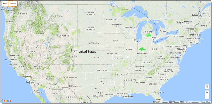
- Click Satellite to change the display to show satellite imagery if necessary.
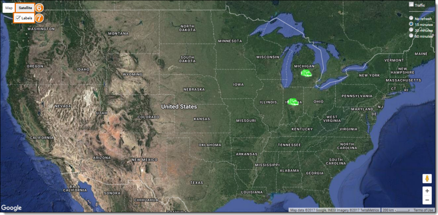
- Hover over Satellite.
- Click Labels to remove the state and nation borders if necessary.
To Change the Magnification of the Map:
- Click plus to zoom in if necessary.
- Click minus to zoom out if necessary.
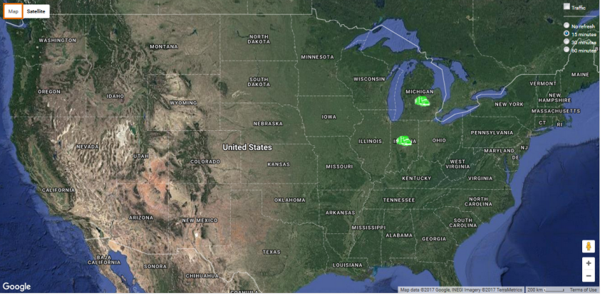
To View the Traffic Overlay:
- Click Traffic.

Each color of the traffic overlay represents a different level of traffic congestion. Green represents the lightest traffic, orange is moderate, and red represents heavy traffic.
Result
The map is customized to the user's preference.
Related Topics
Now that you know more about {the name of this topic}, you may want to read more about: